
Aotea and every one of the 50-odd islands and rock stacks that surround it has a name. Some are well-known, like Rakitū and Kaikoura. Others known to just a few, markers to a past stretching back a thousand years.
Rodney Ngawaka has been listening out for these names and associations, assembling a storyboard of island knowledge.
He says Great Barrier’s Māori name likely comes from the waka Aotea. The harbour between Raglan and Kawhia shares the name, the final resting place of the voyaging canoe.
Ruahine, the high peak in the south of the island, was the grand daughter of Turi, the waka’s chief.
There are island names that reference earlier arrivals, from the Tainui and Arawa waka. Even mythical navigator Kupe – regarded one of the first arrivals from Hawaiki – is referred to in the place now called Okupu, or correctly Ō-Kupe-Mai-Tawhiti.
Names of tupuna embodied in the landscape create common threads in the whakapapa of iwi around the country.
The Ngawaka and related families take their hapū name, Ngāti Rehua Ngātiwai ki Aotea, from the tupuna Rehua who led the conquest of Aotea around the 17th Century.
Island-based archelogist Don Prince explains that this period was one of inter-tribal conflict. Ngāpuhi expanded north and east from the Hokianga, pushing Ngāti Whatua into the Kaipara and Tāmaki isthmus, displacing residents there and generating a domino effect of warring and migration.
Rehua’s people originated from the coastal area north of Auckland. Through a series of conquests of the Ngāti Tai hapū and accommodations with others they came to control Aotea’s settlements as mana whenua ahead of the first contact with Europeans.
Stand on Medlands beach and imagine yourself in those times, part of a group of around 30-40 people, of mixed generations, the oldest kaumātua and kuia not much more than 35 years. Several other similar sized groups share the landsape around you.
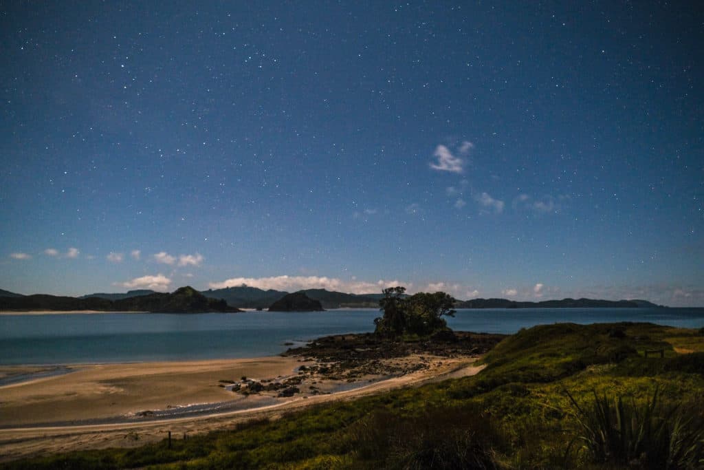
The headlands to the north and south are pā with pallisades and trenches, places of retreat when enemies arrive and for important gatherings. Otherwise, life revolves around gardens and dwellings scattered around the lower hills and edges of the swamp. Memory Rock and at Boatsheds – the rocky outcrops in the middle and south of the beach – and the ridgelines below the pā are dotted with clay-lined pits used for storing kūmara, taro, yams and gourds. Waka are drawn up in the sheltered bay to the south and campfires in the dunes are used for preparing fish, shellfish and birds brought back from foraging parties which travel regularly across and around the island. Urupā or burial places are sited around pohutukawa in carefully tended spots behind the beach.
Don says this period of semi-permanent, defendable settlement was likely a response to growing populations and increasing scarcity of resources. It enabled residents to exercise control of food sources and force barter and trade with those passing through.
Earlier acheological evidence shows that food was dominated by larger mammals and birds, like seals, sealions, elephant seals and moa, that made itinerant hunting and gathering possible, evidenced by middens at Awana and Harataonga.
Don says most coastal headlands around the island show signs of occupation in the period before European contact. Around Tryphena were several pā, at Pā Beach, above the entrance lighthouse (Te Kūrae-o-Turi ) and Millers Point (Rangitāwhiri).
Rodney explains how place names reveal a hidden world of belief systems and knowledge across all corners of the island.
In the North, The Needles, Ngā Taratara ō Toi, are part of Ngā Poitō ō Te Kupenga ō Toi Te Huatahi, the floats of the net of ancestor Toi, and when viewed from the ocean in certain weather they indeed bob like floats on a net.
To the east an important marker is Kaitoke, the reef at the mouth of the main river emerging from the swamp, meaning food (kai) from the conger eel (toke).
The island off Cape Barrier in the South is Te Motu Tohora, referring to the fluke of a rolling right whale.
Westward is Rangiahua, the seat of the Rangi, the sky father figure of Māori mythology.
The names of the island’s highest peaks Hirakimatā and Te Ahumatā both refer to the presence of obsidian (matā), flakes of which were used to create cutting instruments and traded around the Auckland region. Hirakimatā refers to the flash of lightning strike on obsidian.
The arrival of Europeans brought rapid changes to the patterns of habitation on the island. First muskets obtained by Ngāpuhi war parties led by Hōne Heke forced periods of strategic retreat.
Private land deals and government aquisitions to enable mineral and timber extraction and aid European settlement followed. This left Ngāti Rehua Ngātiwai ki Aotea with just 1800 hectares in the north west of the island around marae at Kawa and Motairehe.
The Waitangi Tribunal has documented this history, resulting in an apology by the Crown for causing prejudice or breaches of the Treaty of Waitangi and an associated Deed of Settlement.
Through the work of Rodney and Don we are being invited to look at landscapes around Aotea and see the histories and stories of two peoples afresh.
Written by Tim Higham. With thanks to Rodney Ngawaka and Don Prince.
Published by Destination Great Barrier island.


