Discover interesting flora and panoramic views at the top of Te Ahumata (398 m). This track follows an old mining road between Whangaparapara and Blind Bay roads. To start this track along Blind Bay road to Okupu, there is a Kauri tree on the left of the road, signage and a small amount of parking. To start along Whangaparapara road the track opening is opposite the entrance to the Forrest road track and is clearly marked.
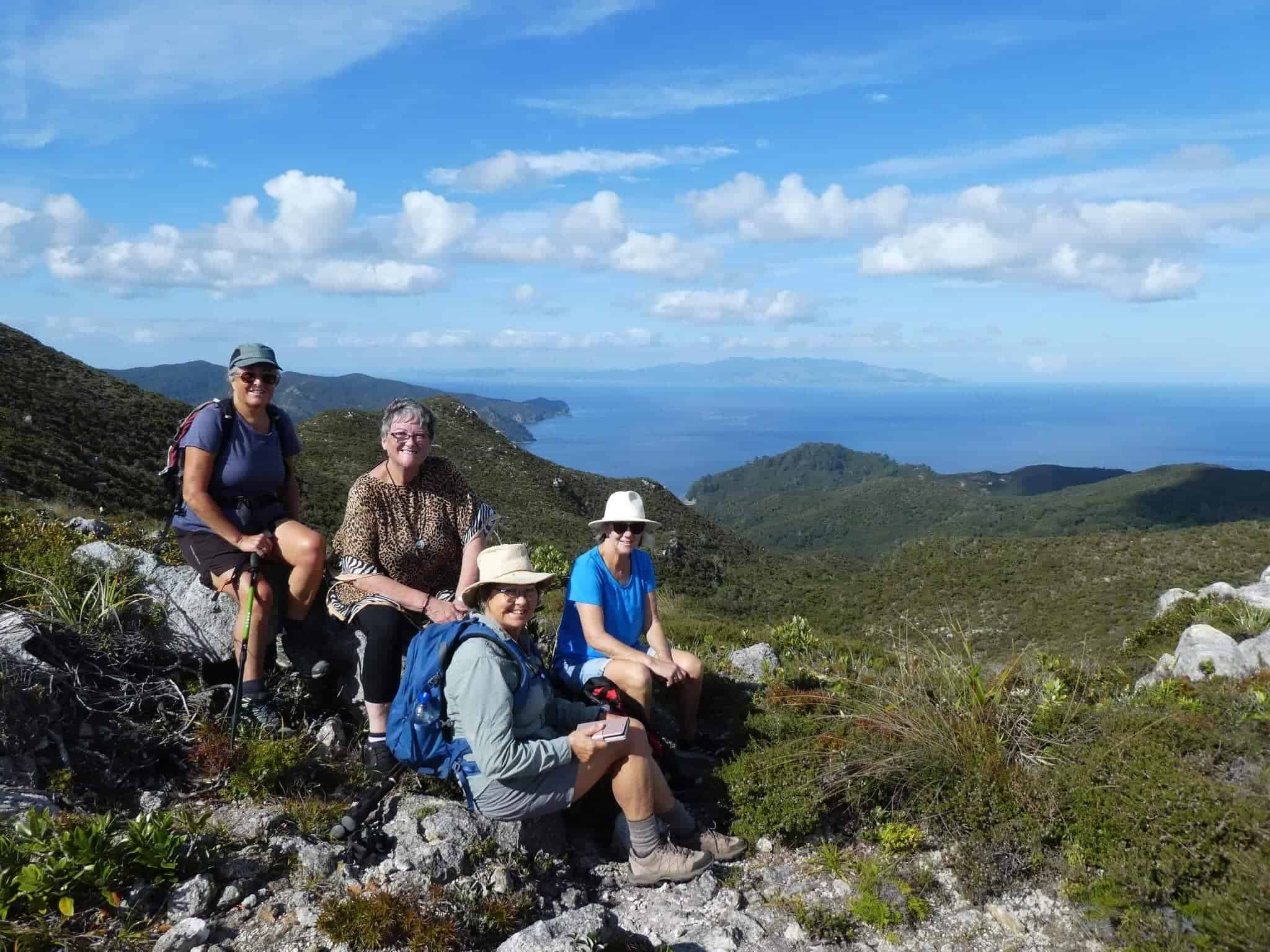
From either end a 30-minute gradual climb leads to a junction, where a branch track (a further 30 minutes) leads to the summit covered with wind-shorn, bonsai-like native plants and numerous orchid species. There are panoramic views in every direction.
The main track is administered by Auckland Council and the branch track by the Department of Conservation.
Te Ahumata Summit lookout
Disused mine shaft
Wind-shorn bonsai like native plants
Variety of Orchids