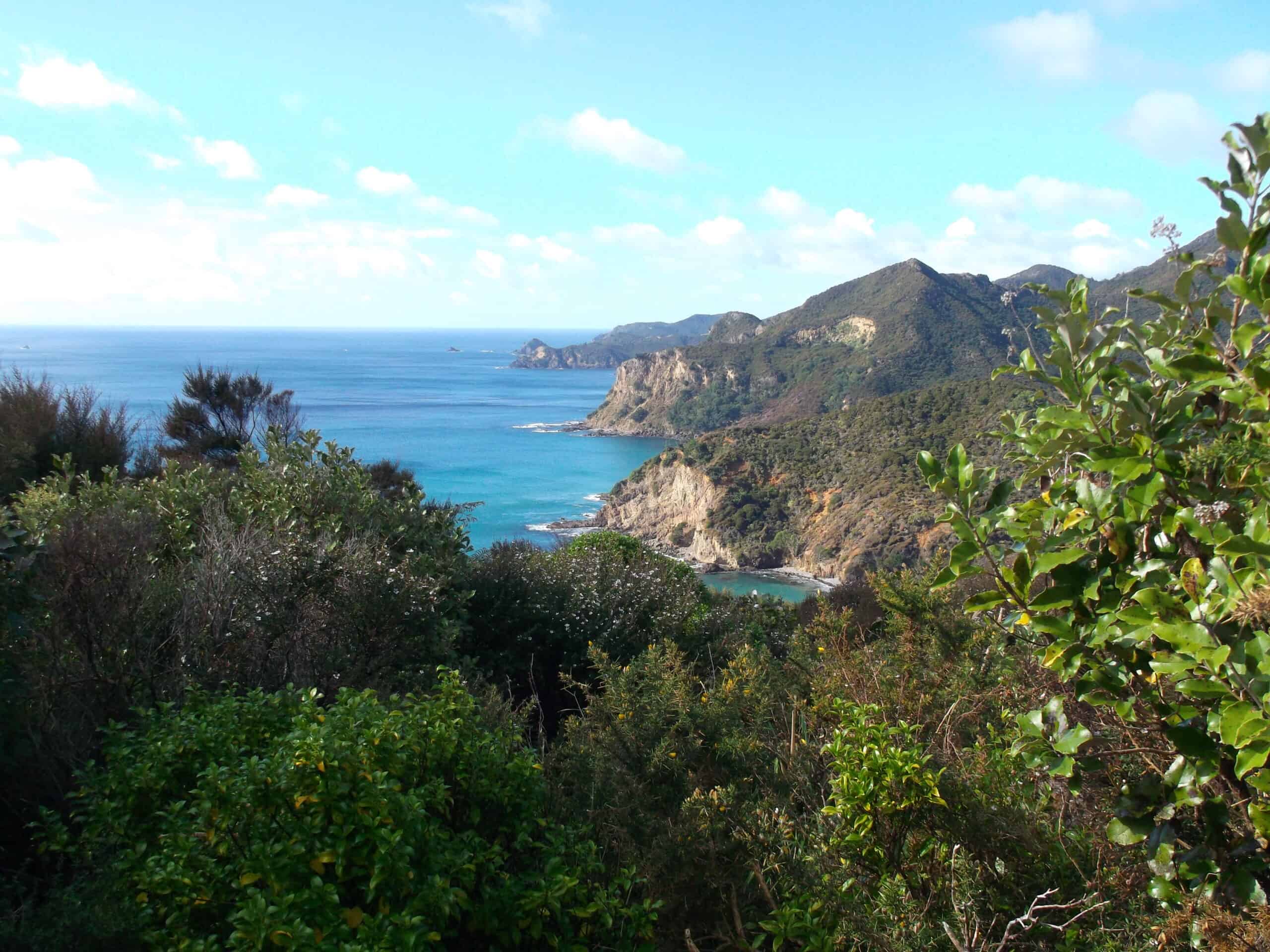
Harataonga Coastal Walkway
This easy walk does not have the steep grades of many of the island’s other tracks. It winds through regenerating forest and was once the road linking the island’s south and north. From Harataonga campsite, the track heads west across a stream before following a coastline of magnificent views. The track ends at Aotea Road at the south end of Okiwi Basin. There are two entry points. The Okiwi end starts at a signpost on Aotea Road, at the south end of Okiwi. Alternatively you can start from the Harataonga campsite.
Harataonga Loop Track
This track branches to the right, close to the Harataonga end of the Coastal Walkway. The track loops back to the campground passing close to a pa site. Enjoy sea and coastal views.
The track passes through private property – keep to the marked track.
Beware of sheer drops.
Harataonga Loop track
Harataonga Beach lookout
Motu Rakitu views
Okiwi basin and Whangapoua beach lookout
Stunning coastal views throughout
Regenerating coastal native bush of predominately Mānuka, Kānuka, Nīkau, Tī kōuka (Cabbage tree) and Pittosporum
Riroriro (Grey Warbler)
Kōtare (Kingfisher)
Kererū (Wood Pigeon)
Tauhou (Silvereye/Waxeye)
Tūī